
|
|
| ÖSTERREICH | AUSTRIA |
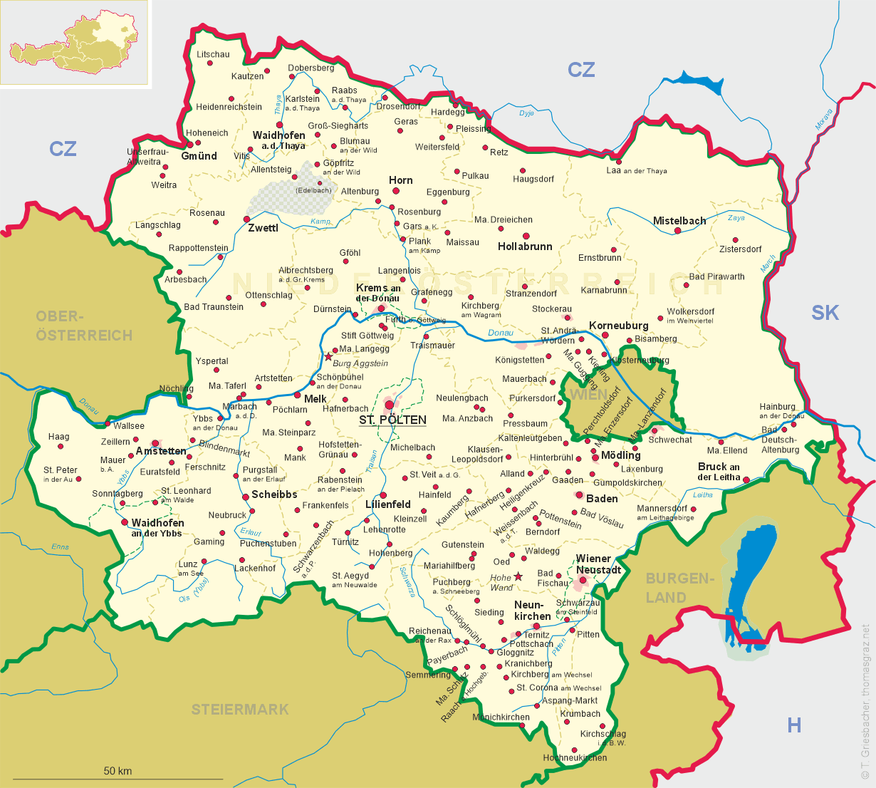
| Bundesland: Niederösterreich | Lower Austria |
| Bezirk: Zwettl |
map →
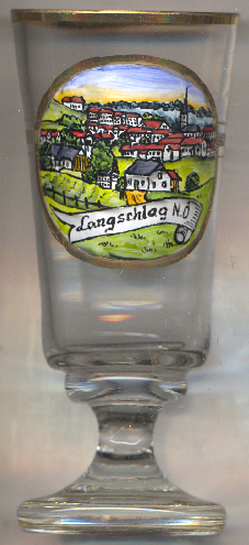 Langschlag is situated at an elevation of 765 m in the upper valley of the river Zwettl, about 21 km west-southwest of the
district town Zwettl and about 69 km northwest of Sankt Pölten, the capital of
Lower Austria. The municipality has a population of about 1,700 (2025).
Langschlag is situated at an elevation of 765 m in the upper valley of the river Zwettl, about 21 km west-southwest of the
district town Zwettl and about 69 km northwest of Sankt Pölten, the capital of
Lower Austria. The municipality has a population of about 1,700 (2025).
Langschlag was first mentioned in a written document in 1209. În 1556 it was first mentioned as a market. The status as a market town was officially renewed in 1923. The neighbouring communities of Bruderndorf, Fraberg, Kainrathschlag, Langschlägerwald, Siebenhöf and Stierberg were merged into the municipality in 1967; the former municipality of Mitterschlag and Reichenauerwald (part of Reichenau am Freiwalde) followed in 1971.
The  parish church of Sankt Stephanus [background right] was first mentioned in 1209 when it
obtained the status of a parish church. Later, it became a filial church of Groß Gerungs, but regained the status of a parish church in 1784.
The present late Gothic church was constructed in 1526–1539 on the foundations of the older Romanesque church building. In 1752 the church
was remodelled in Baroque style.
parish church of Sankt Stephanus [background right] was first mentioned in 1209 when it
obtained the status of a parish church. Later, it became a filial church of Groß Gerungs, but regained the status of a parish church in 1784.
The present late Gothic church was constructed in 1526–1539 on the foundations of the older Romanesque church building. In 1752 the church
was remodelled in Baroque style.
[https://de.wikipedia.org/wiki/Langschlag_(Nieder%C3%B6sterreich);
https://de.wikipedia.org/wiki/Pfarrkirche_Langschlag]
![[scale]](lineal.jpg)