
|
|
| DEUTSCHLAND | GERMANY |
| Bundesland: Freistaat Bayern | Bavaria |
| Regierungsbezirk: Oberfranken | |
| Landkreis: Wunsiedel im Fichtelgebirge |
map →
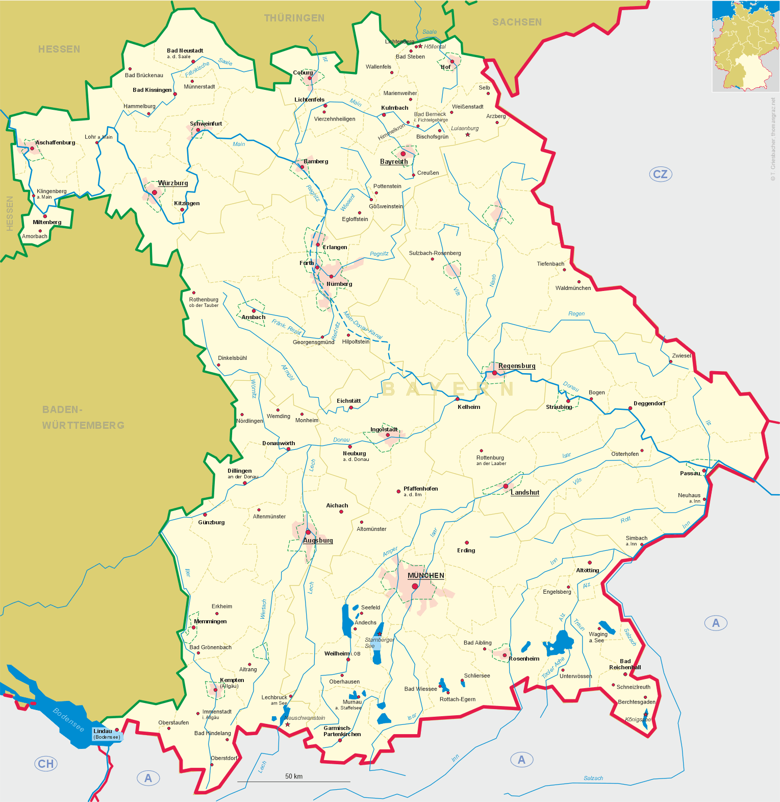
 Bad Alexandersbad is situated at an elevation of 578 m in Upper Franconia, about 3 km southeast of the district town
Wunsiedel and about 33 km east-northeast of Bayreuth, the administrative seat of the Bavarian administrative
region of Upper Franconia. The municipality has a population of about 930 (2025).
Bad Alexandersbad is situated at an elevation of 578 m in Upper Franconia, about 3 km southeast of the district town
Wunsiedel and about 33 km east-northeast of Bayreuth, the administrative seat of the Bavarian administrative
region of Upper Franconia. The municipality has a population of about 930 (2025).
Following the discovery of the mineral springs in 1734, the place was named for the last Margrave of Brandenburg-Bayreuth, Christian Friedrich Carl Alexander. The first spa house was built in 1781. In the 19th century, Alexandersbad developed into a quite popular spa town. Part of Prussia since since 1791 and late part of Bavaria since 1806, the spa slowly developed further. The official designation as Heilbad (Spa place) was awarded in 1976. Since 1979, the predicate Bad ('spa') is part of the official name.
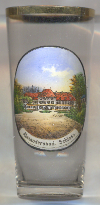
The bathhouse, today refered to as the  'Margravial palace'
[https://de.wikipedia.org/wiki/Bad_Alexandersbad]
![[scale]](lineal.jpg)