
|
|
| ÖSTERREICH | AUSTRIA |
| Bundesland: Steiermark | Styria |
| Bezirk: Weiz |
map →
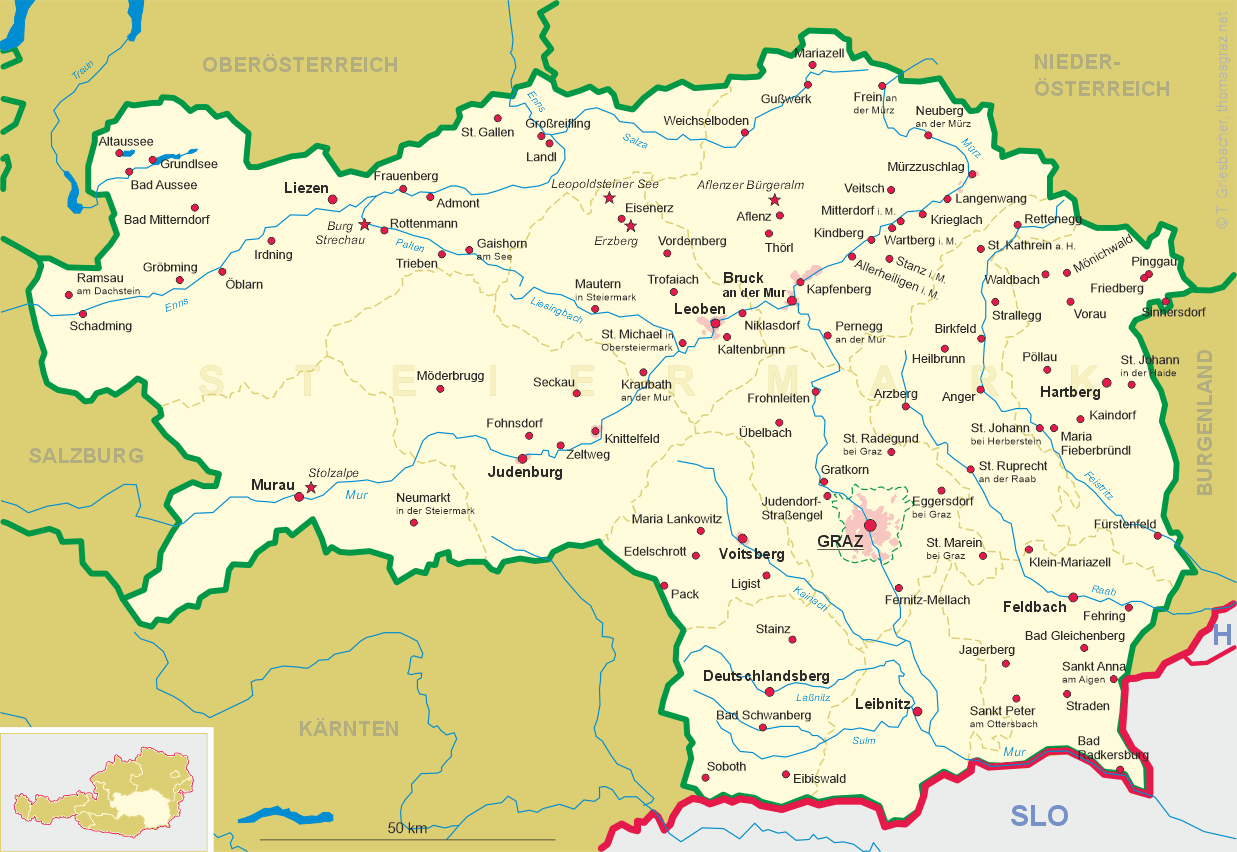
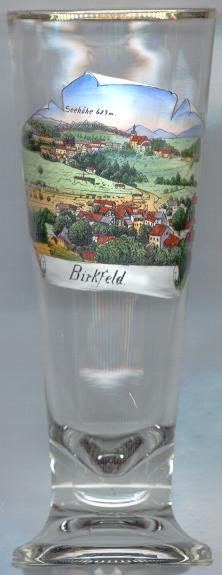 Birkfeld is situated at an elevation of 639 m in the upper Feistritz valley, about 16 km northeast of the district town
Weiz and about 37 km northeast of Graz, the capital of Austria's state of Styria.
The municipality has a population of about 4,900 (2026).
Birkfeld is situated at an elevation of 639 m in the upper Feistritz valley, about 16 km northeast of the district town
Weiz and about 37 km northeast of Graz, the capital of Austria's state of Styria.
The municipality has a population of about 4,900 (2026).
Birkfeld was first mentioned as market town in 1265. It received the status of a market town in 1330. the modern municipality was founded in 1850 and at the samt time it became the seat of a district court. In 2015 the neighbouring municipalities of Gschaid bei Birkfeld, Haslau bei Birkfeld, Koglhof and Waisenegg were incorporated into the municipality of Birkfeld.
 Birkenstein castle [left, no. 558: background left] goes back to a stronghold
that was founded around 1250. The current castle was built aoround 1550. After 1707 it was rebzuilt in the Baroque style. Further modifications
followed in 1825. Extensive restaurations were carried out between 1958 and 1961.
Birkenstein castle [left, no. 558: background left] goes back to a stronghold
that was founded around 1250. The current castle was built aoround 1550. After 1707 it was rebzuilt in the Baroque style. Further modifications
followed in 1825. Extensive restaurations were carried out between 1958 and 1961.
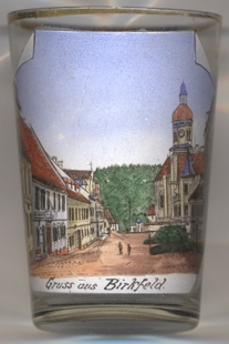 The town is dominated by the parish and deanery church Sankt Peter und Paul
[far left, no. 558: background right, and near left, no. 4081: right]. The church was first mentioned in 1295. Despite
enlargements, the original church became too small during the 17th century and was demolished. It was replaced by
the present church in 1709–1714.
The town is dominated by the parish and deanery church Sankt Peter und Paul
[far left, no. 558: background right, and near left, no. 4081: right]. The church was first mentioned in 1295. Despite
enlargements, the original church became too small during the 17th century and was demolished. It was replaced by
the present church in 1709–1714.
[https://de.wikipedia.org/wiki/Birkfeld;
https://www.burgen-austria.com/archive.php?id=298;
https://de.wikipedia.org/wiki/Pfarrkirche_Birkfeld]
![[scale]](lineal.jpg)